Frequently Asked Questions
- Are a child 12 years old or under
- Are 13 years or over and riding with a child who is 12 years old or under
- Are 18 years or over and riding with a young child in a child seat attached to your bicycle or you have a child pedalling on a bike attachment connected to your bicycle
- Have a medical certificate that says they have a disability that makes it difficult to ride on the road
- Are 13 or over and riding with someone who has a medical certificate that says they have a disability that makes it difficult to ride on the road.
- 3.5 m wide traffic lanes - 3.5 m is the recommended minimum lane width for bus routes. At key intersections, additional lane-width is provided to facilitate the safe turning of buses and other heavy vehicles.
- 2.5 m wide parking lane - 2.5 m is the recommended minimum parking lane width on a road with a 60 km/h speed limit.
- 0.9 m wide nature strip - provides separation between cyclists and car door opening by passengers, as well as for the storage of bins and the planting of small trees.
- 2.7 m wide bicycle path - 2.5 m is the recommended minimum width for a regional-level bicycle path. Including the drain invert (as is standard for on-street bicycle lanes) increases the path width to 3.0 m.
- 1.6 m wide footpath - the existing footpath width is maintained.
What is the Ringwood to Croydon Connects project?
The Ringwood to Croydon Connects project aims to complete the missing 6.5km link in the regional bicycle network between Ringwood Metropolitan Activity Centre (RMAC) and Croydon Major Activity Centre (CMAC). A map of the current bike networks in Maroondah is detailed below.
The strategic importance of this cycling link is recognised within the Victorian Strategic Cycling Corridors, the Metropolitan Trails Network and the Eastern Regional Trails Strategy.

Why is an off-road bicycle path needed along Bedford Road ?
The existing bicycle facility along Bedford Road are shared bicycle/parking lanes. The lanes have insufficient width for bicycles to pass parked vehicles within the lane, causing a stressful riding environment in which cyclists need to merge into the traffic lane to pass parked vehicles.
Research has shown that many Victorians are interested to cycle more but are concerned about safety in “high stress” cycling environments. More information is available on the Transport Victoria website.
The Bedford Road bicycle path is part the wider Ringwood to Croydon Connects off-road path project, which aims to complete the ‘missing link’ in the regional bicycle path network. The bicycle path will be a high-quality facility designed in accordance with best practice guidelines to cater for a wide range of cycling abilities in the community. At a couple of constrained locations, the separated bicycle path and footpath merges into a shared use path (SUP) similar to the existing SUP along Bedford Road and Station Street west of Warrandyte Road.
The Bedford Road bicycle path will provide a direct off-road connection to the Ringwood Metropolitan Activity Centre, nearby schools and other local cycling paths.
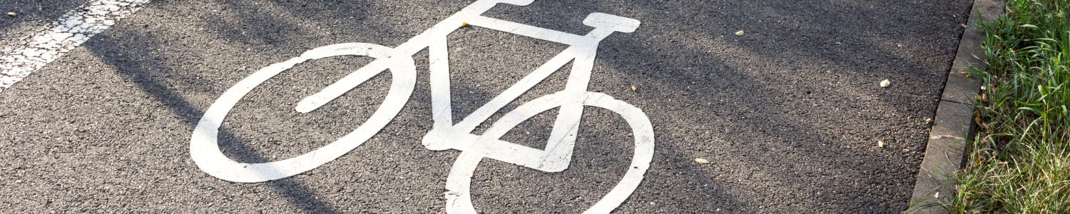
Can cyclists ride on the footpath?
Under the Victorian Road Safety Road Rules, a cyclist can only ride on a footpath if they:
Visit the Legal Aid bike law webpage for further information.
How will this proposal impact car parking on Bedford Road?
North side of Bedford Road
The existing parking supply along residential frontages on the north side will generally be retained as per current conditions. Kerb outstands will be provided at several locations to cater for the bus stops and improved landscaping, which results in a slight reduction of 2 car spaces along residential frontages.
South side of Bedford Road
The current functional design proposes to remove the shared bicycle/parking lane and install 10 indented car parking spaces on the south side.
Why is a parking lanes proposed on the north side and not the south side?
The road needs to be narrowed to accommodate a separated bicycle path on the north side. Accordingly, one of the parking lanes needs to be removed.
The north side supplies more on-street parking opportunities than the south side which is limited by intersecting side streets.
On-street parking in the north side parking lane or south side indented car spaces is a public resource available for use by residents of, and visitor to, both sides of the road, as well as other community members.
Will there be enough car parking?
Surveys were undertaken during peak parking periods to understand current parking utilisation rates along Bedford Road. The surveys indicate that the existing car parking supply is under utilised.
The on-street supply via the north parking lane and south indented spaces as proposed in the Functional Design more than accommodates the surveyed peak parking demand.
Should the project proceed to construction, Council Engineers would monitor the parking demand to maintain an appropriate management of car parking supply.
How will property access be affected?
Northern side of Bedford Road
Property crossovers will be maintained in current locations. Drivers in vehicles entering or exiting properties will need to give way to pedestrians on the footpath and cyclists on the bicycle path in accordance with the Victorian Road Safety Rules.
The proposed separated footpath and bicycle path design facilitates best practice safety outcomes where it can be achieved, as the offset from property boundary to the bicycle path provided by the footpath (and drain invert) provides better sight lines between residents exiting properties and oncoming cyclists.
Southern side of Bedford Road
No change is proposed to property access.
Both sides of Bedford Road
Vehicles entering or exiting properties would need to give way to pedestrians and cyclists on the paths in accordance with the Victorian Road Safety Road Rules.
What is a drain invert between the north footpath and bicycle path?
The drain invert is approximately 5 centimetres deep and 60 centimetres wide and captures stormwater runoff from the footpath, bicycle path and nature strip.
The drain invert is safe and trafficable (see Lusher Road, Croydon, example below)

When will the Bedford Road bicycle path project be constructed?
Construction of the bicycle path and Bedford Road modifications is currently unfunded.
Council will engage in advocacy efforts with other tiers of government and external agencies to secure external funding in order to undertake progress the proposal to detailed design and construction.
Due to the next steps and requirement to secure external funding, it may take some time to implement the recommended improvements.
Were alternative routes considered?
The Bedford Road alignment was selected because it provides direct connection to the Ringwood Metropolitan Activity Centre, nearby schools and other local cycling paths. Other potential route alignments for an off-road path - along Warrandyte Road and Pitt Street, or along the rail corridor - were considered not feasible due to existing constraints and poorer connectivity.
Why was this road layout selected for the functional design?
How will this proposal impact traffic flow on Bedford Road?
The design maintains the existing road lane arrangements, i.e., one (1) traffic lane in each direction. Additionally, it is expected that most cyclists would choose to ride along the bicycle path rather than on-road, reducing existing on-road merging activities caused when cyclists need to weave around cars parked in the existing shared bicycle / parking lanes. It is noted that buses will now stop in the traffic lanes; however, the bus dwell times at the stops along Bedford Road are relatively short. Accordingly, the design is expected to have negligible impact on peak hour traffic flow and congestion.
How will this proposal impact vegetation and landscaping?
11 trees of various stages of maturity were identified for removal in the functional design. Accordingly, the design features opportunities for canopy tree planting opportunities in the kerb outstands at the north side bus stops and opportunities for small tree planting in the nature strips. The location and type of tree planting will be further considered in the detailed design phase.
How will this proposal integrate with other nearby paths and projects?
The design will link to the existing shared use path along Bedford Road west of Warrandyte Road, and to a separated bicycle path east of Great Ryrie Street incorporated into the Bedford Road Level Crossing Removal Project (LXRP). Also included in the LXRP works is the extension of a shared use path along the rail corridor between Bedford Road and Lena Grove. For further information on the Bedford Road LXRP proposal go to www.bigbuild.vic.gov.au/projects/level-crossing-removal-project/projects/bedford-road-ringwood
As part of the wider Ringwood to Croydon Connects path, it is proposed to install a sealed shared use path from Bedford Road through Bedford Park and adjacent the rail corridor behind Ringwood Secondary College to Dublin Road.